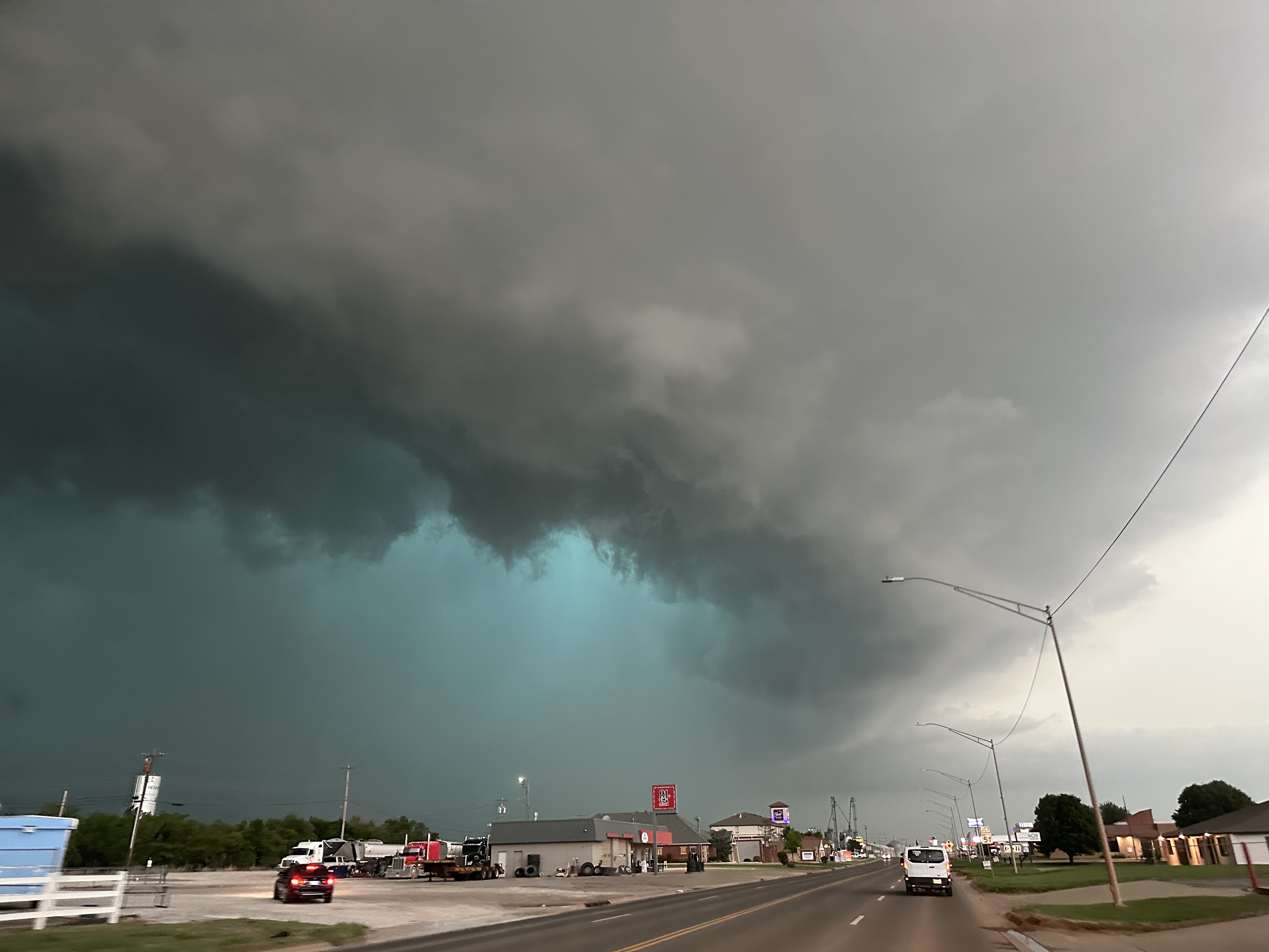
The NWS-Storm Prediction Center (SPC) issued tornado watches and severe weather warnings for parts of Oklahoma, Texas, Missouri, and Illinois, on October 31, 2024.

A mesocyclone and green glow from large hail appear as a tornadic supercell arrives in Hennessey, Oklahoma, on May 7, 2024 | Source: Getty Images
The SPC warns that conditions are favorable for tornadoes and other severe weather, and residents in these areas should stay alert as storms move through the region.
Northeastern Oklahoma has the highest tornado risk, with a 10 percent or greater chance of strong tornadoes reaching Enhanced Fujita (EF) scale intensities from EF2 to EF5. Major cities in this high-risk area include Tulsa, Broken Arrow, Stillwater, Bartlesville, and Owasso. The SPC has marked this area in yellow, signaling an urgent need for residents to prepare for severe weather.
Meanwhile, a five percent risk area marked in brown includes cities like Kansas City, Missouri, and Oklahoma City, Oklahoma, where severe storms could also develop.
Farther out, a two percent risk zone, shown in green, extends to Dallas, Fort Worth, and Arlington in Texas, St. Louis in Missouri, and parts of Illinois. Although the risk is lower here, residents are still advised to remain cautious and prepared.
The SPC uses a color-coded system to show different levels of severe weather risk, making it easier to know when to prepare and take action.
Light green, indicating general thunderstorms, shows a low risk where non-severe thunderstorms are likely, with a 10 percent or greater chance of storms during the forecast period.
Meanwhile, dark green, representing a marginal risk, indicates a minimal chance of severe storms that are typically limited in intensity, coverage, or duration.
Yellow, indicating a slight risk, highlights areas with a moderate chance of organized severe storms, though these events are generally less widespread.
Next is orange, representing an enhanced risk, marking regions with a higher likelihood of severe storms with increased intensity compared to slight risk areas.
Red, indicating a moderate risk, designates areas where widespread severe weather is expected, including several tornadoes or intense thunderstorms.
Lastly, magenta, representing a high risk, is reserved for the most severe conditions, signaling a severe weather outbreak with intense, long-tracked tornadoes or powerful storm complexes that could cause extensive damage.
Before issuing their latest weather update, the SPC placed northeastern Oklahoma under a Tornado Watch on the evening of October 30, effective until midnight Central Daylight Time (CDT). The primary threats include strong tornadoes, wind gusts up to 80 miles per hour, and hail up to 1.5 inches in diameter.
According to the SPC, a line of storms in north-central Oklahoma is expected to strengthen and move east, bringing the highest tornado risk to areas within 55 miles east and west of a line stretching from Bartlesville to south of Chandler. Residents are advised to stay alert and be ready to act quickly if a tornado warning is issued.


